About Us

Local ownership. Practical aerial intelligence.

RangeLine Aerial is owned by Jacob Hlavac and Kaleb J. Kotas and is based in David City, Nebraska. Together, we serve landowners, agriculture, contractors, property professionals, and businesses across the Great Plains.

Meet the owners

The people behind RangeLine.

Get to know the owners responsible for planning each project, operating with care, and delivering useful aerial information.

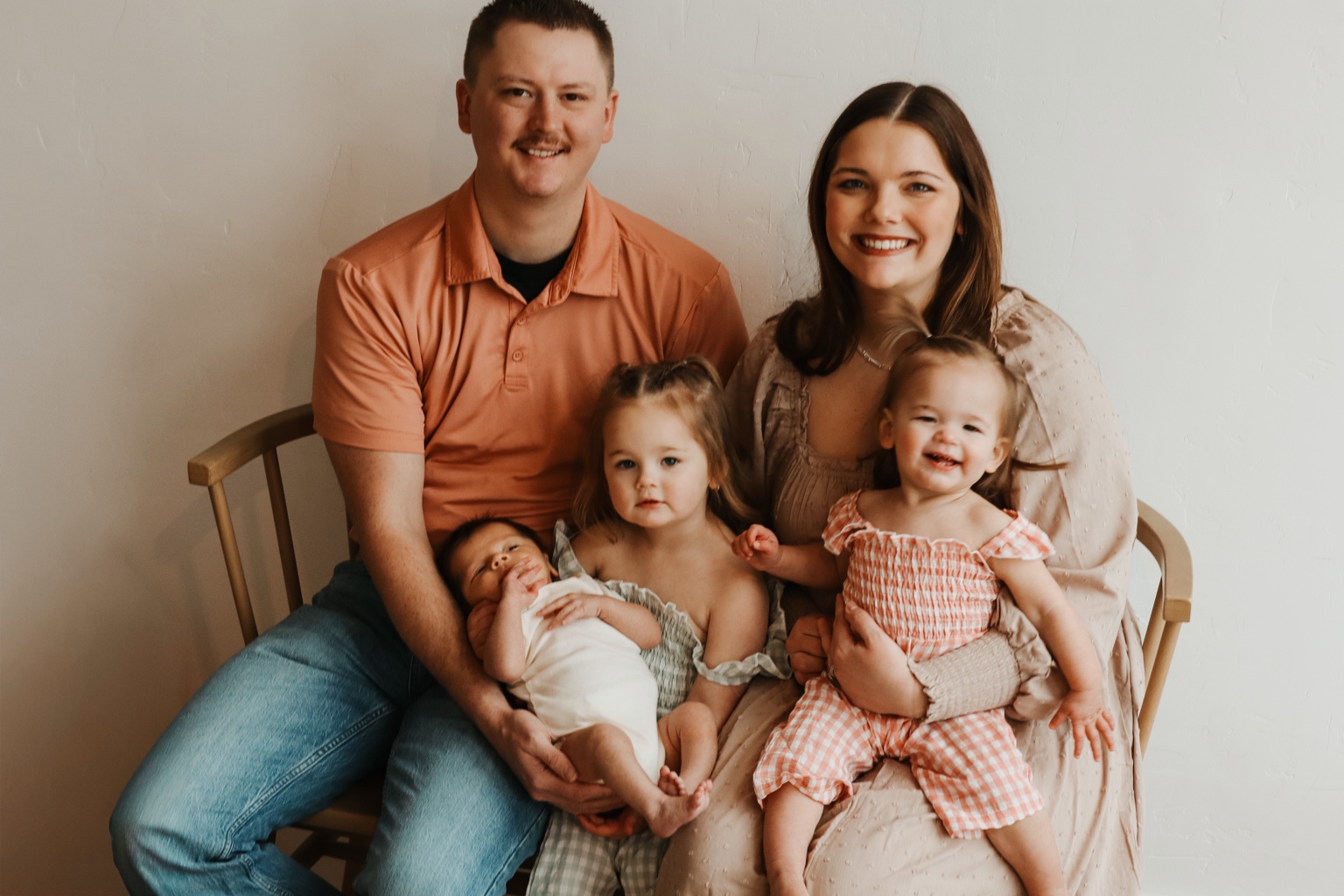
Jacob Hlavac with his wife and three children

Owner

Jacob Hlavac

The outdoors has always been more than a hobby for me—it’s a way of life.

Some of my best memories have been made in the field, whether hunting, fishing, exploring new country, or simply spending time outside with the people who matter most. I have a deep respect for the land, wildlife, and the traditions that come with living an outdoor lifestyle. That connection to the outdoors is a major part of what led me to help build RangeLine Aerial.

Above everything else, though, I’m a family man. My family is the reason I work hard, take pride in what I do, and continue pushing myself to build something meaningful. I want RangeLine Aerial to be a business built on the same values I hope to pass down to my family—hard work, honesty, respect, and doing things the right way even when nobody is watching.

My career in law enforcement has strengthened those values. Years spent serving the public have taught me the importance of integrity, accountability, attention to detail, and staying composed when situations become difficult. Law enforcement also taught me that trust isn’t something you’re automatically given; it’s something you earn through your actions.

That mindset carries directly into RangeLine Aerial.

We aren’t interested in simply putting a drone in the air and calling it a job. Whether we’re helping locate an animal, surveying wildlife, mapping a property, inspecting infrastructure, documenting agricultural land, or completing another aerial project, our goal is to provide information our customers can actually put to use.

Modern drone technology gives us an incredible set of tools, but technology alone doesn’t make a good operator. Knowing the terrain, understanding the mission, respecting the land, paying attention to the details, and being willing to put in the work are what make the difference.

RangeLine Aerial represents a combination of the things that have shaped who I am: family, the outdoors, service, hard work, and a respect for the land.

We’re building this company with the mindset that when someone calls RangeLine Aerial, they’re going to get more than a drone operator. They’re going to get someone who takes their property, their project, and their trust seriously.

Co-owner

Kaleb J. Kotas

Biography coming soon

Add Kaleb’s background, experience, responsibilities at RangeLine Aerial, and connection to the communities the company serves.

Why RangeLine

The result matters more than the flight.

A drone is only the platform. The real service is understanding the project, safely collecting useful information, and delivering it in a form the client can use.

RangeLine Aerial was created around the needs of rural properties, farms, ranches, active job sites, and regional businesses. Projects begin with a clear scope: the question being answered, the area involved, the conditions required, and the final deliverable.

That approach supports a broad range of work—from wildlife and land observations to thermal imaging, mapping, exterior inspections, construction progress, and commercial media.

68632

David City, Nebraska

A central Nebraska home base with the ability to plan regional work throughout Nebraska and neighboring Great Plains states.

Explore services

Operating principles

Clear scope. Careful flight. Useful delivery.

Every project depends on property permission, appropriate operating conditions, airspace access, site coordination, and a shared understanding of what the data can support.

Safety

The remote pilot’s operational judgment and applicable flight rules guide every mission.

Clarity

Pricing, access, timing, deliverables, and limitations are defined before work begins.

Usefulness

Images, maps, video, and reports are organized around the client’s objective.

Respect

Property boundaries, privacy, wildlife rules, and sensitive information are treated seriously.

Ready to discuss a project?

Start with the location, service, timing, and information you need.

Request a quote